The Roseroad
el Camino de las Rosas
The Roseroad runs the length of the Reach, linking King's Landing to Oldtown through the lands the Tyrells rule. Much of the grain that feeds the capital travels along it.
A road like this does more than carry goods and armies: it can also be closed, and whoever holds it holds King's Landing's stomach in their hands.
Chapter 1
A route through the Reach
Books only
The road starts at King's Landing and runs south through the Reach until it reaches Oldtown. It crosses the Mander twice: first at Bitterbridge, then again at Highgarden, where it meets the Ocean Road.
Chapter 2
Jaehaerys's roadworks
Books only
 Jaehaerys I Targaryen
King Jaehaerys I Targaryen included this road in his programme to improve the Seven Kingdoms: ruts were filled in, fresh gravel laid down, and bridges built, just as on the realm's other roads.
Chapter 3
The road shut during the war
Books only
 Mace Tyrell
During the war fought by rival kings for the Iron Throne, Renly marched his army from Highgarden toward King's Landing, moving slowly down this road.
Mace Tyrell, lord of Highgarden, shut this passage, the route through which grain reached the capital from the Reach. Without that supply, King's Landing went hungry.
Chapter 4
Reopened after the Blackwater
Books only
After the Battle of the Blackwater, Mace Tyrell reopened the Roseroad, restoring the flow of grain into King's Landing.
Gallery
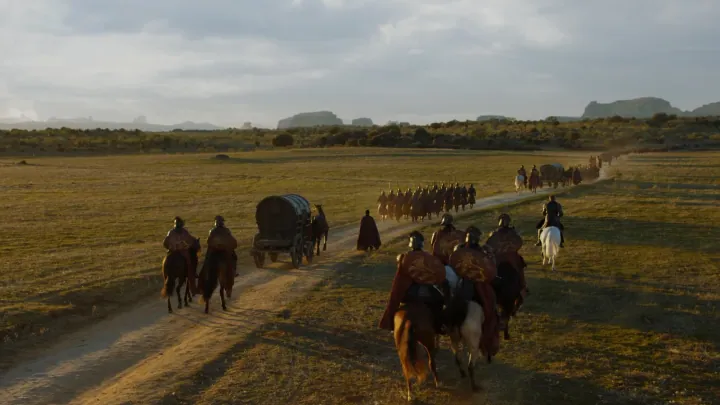
The Roseroad704 Roseroad.png · gameofthrones.fandom.com · this wiki publishes under CC-BY-SA

What we are not sure about
PositionWe worked it out
The position was inferred from the label on the base map rather than from a symbol of its own: it marks the area, not the point.