The Sunset Sea
el mar del Ocaso
The Sunset Sea stretches west of Westeros, washing the shores of the Reach, the Westerlands, the North, the Iron Islands, the Riverlands and the lands beyond the Wall. No one has ever crossed it from end to end; those who have tried have simply vanished.
Swordfish, seals and whales are common in its waters, and whether the sea dragons of old stories truly live there remains unknown.
Chapter 1
A sea without an end
Books and show
The Sunset Sea separates Westeros from whatever lies beyond it. Its waters touch the Reach, the Westerlands, the North, the Iron Islands, the Riverlands and the frozen coasts north of the Wall.
Swordfish, seals and whales swim through it, and along the Iron Islands and other stretches of coast entire communities live off the fish and shellfish it provides. Whether the sea dragons of old tales are real is something nobody has confirmed; they may be nothing more than stories.
Chapter 2
Those who never came back
Books only
King Brandon Stark, known as the Navigator, sailed west into the sea and was never heard from again. What he found, if he found anything at all, nobody knows.
Centuries later, Queen Rhaenys Targaryen wanted to try the same thing from the air, riding her dragon to fly out over the sea and see what lay beyond it. She died before she got the chance, killed at Hellholt during the First Dornish War.
Chapter 3
What lies beyond
Books only
At the last kingsmoot of the ironborn, Lord Gylbert Farwynd offers to lead them to lands he claims exist on the other side of the Sunset Sea, beyond the Lonely Light.
He would not be the first to try: archmaester Haereg writes in his History of the Ironborn that Lord Alton Greyjoy once tried to conquer new land past that point. So far, no one has managed to cross the sea and come back.
The physical world
Se desconoce si los legendarios dragones marinos habitan en la zona.
What it is like · El Mundo de Hielo y Fuego-Los Siete Reinos, Las Islas de Hierro.
Gallery
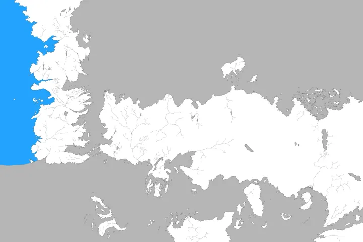
The Sunset Sea, image 1Sunset Sea.png · gameofthrones.fandom.com · this wiki publishes under CC-BY-SA 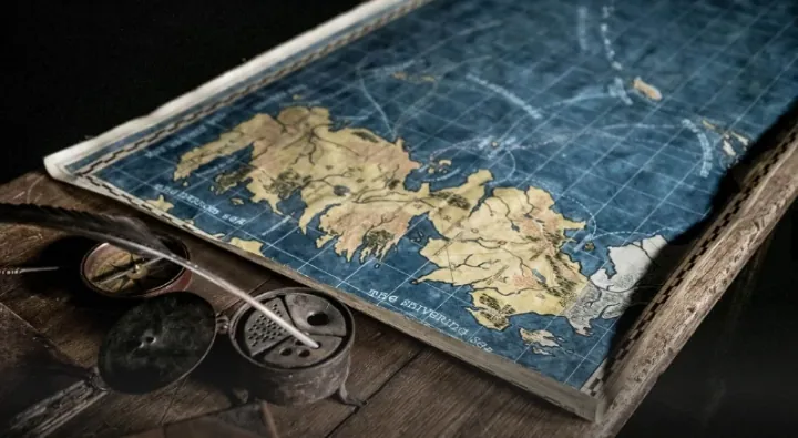
The Sunset Sea, image 2MapShowingIslandsWestofWesteros.PNG · gameofthrones.fandom.com · this wiki publishes under CC-BY-SA


What we are not sure about
PositionWe worked it out
The position was inferred from the label on the base map rather than from a symbol of its own: it marks the area, not the point.