The Kingsroad
Camino Real
Not to be confused with The Kingsroad (road) · The Kingsroad (road) · The Kingsroad (road).
The Kingsroad is the longest route in the Seven Kingdoms: it starts at Castle Black, by the Wall, and runs nearly two thousand miles down to King's Landing, continuing south from there toward Storm's End.
Whole armies have marched along it, and kings have ridden it on their way to the capital; it is the spine that ties the northern edge of the realm to the south.
Chapter 1
Jaehaerys's road
Books only
It was raised during the reign of Jaehaerys the Conciliator, meant to bind the capital to the northern lands.
Between the Neck and the capital the road stays in decent repair, dotted with inns, villages and holdfasts. At the Inn at the Crossroads it meets the High Road, and once in King's Landing it joins the Roseroad as well.
North of the Neck, and south of the capital too, the surface worsens into dirt and stone track, with inns scarcer and less fit for large parties. Beyond Winterfell the road narrows into a rough, wild trail; only a handful of scattered farms remain before it reaches the Wall.
Chapter 2
The Greens' last stand
131 ACBooks only
In 131 AC the Kingsroad was the setting for the last battle of the Dance of the Dragons: there the Greens' final forces were spent.
Chapter 3
Ten thousand Dornishmen bound for the Trident
Books only
During Robert's Rebellion, Prince Lewyn Martell led ten thousand Dornishmen up the Kingsroad, bound north to join the Battle of the Trident.
The physical world
Una vez que el camino deja atrás Invernalia hacia el norte, el camino se convierte en una senda pequeña y agreste y, además de unas cuantas granjas, no hay nada hasta llegar al Muro.
Route · Choque de Reyes, Capítulo 9, Arya.
Gallery
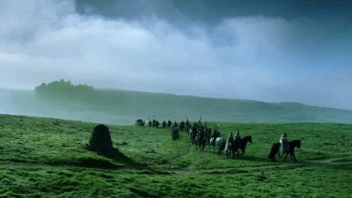
The KingsroadCamino Real HBO.jpg · hieloyfuego.fandom.com · this wiki publishes under CC-BY-SA

What we are not sure about
PositionWe worked it out
The position was inferred from the label on the base map rather than from a symbol of its own: it marks the area, not the point.