The Narrow Sea
el mar Angosto
The Narrow Sea separates Westeros from the eastern continent of Essos, and it is the crossing that merchants, armies, and claimants to the throne must make to reach one continent from the other.
It is neither so wide as to be impassable nor so narrow as to make invasion easy: that particular distance has shaped who can threaten the Seven Kingdoms from across the water and who cannot.
Chapter 1
A sea that divides and connects
Books and show
The water between Westeros and Essos is not wide, but it is enough to complicate any major landing: fleets that cross it are exposed, and a real invasion demands far more ships than almost anyone has on hand.
In autumn the sea turns rough and storms are frequent; in winter they are rarer but harsher. A crossing from the Shield Islands to the far side is said to risk losing two ships out of every three if the weather turns, which is why merchant galleys prefer to go around by the Stepstones rather than risk it head-on.
To the north it opens into the Shivering Sea, to the west into the Sea of Dorne, to the east into the Jade Sea, and to the south — past the chain of islands forming the Stepstones — into the Summer Sea. The Crabclaw Bay, Blackwater Bay, Shipbreaker Bay, and Pentos Bay all open onto it as well.
The physical world
Está conectado con el Mar de los Escalofríos en el norte, el Mar de Dorne en el oeste, el Mar de la Alegría en el este y el Mar del Verano en el sur, el cual está separado por la cadena de islas conocida como los Peldaños de Piedra.
Geography · Danza de Dragones, Mapa Ciudades Libres.
Gallery
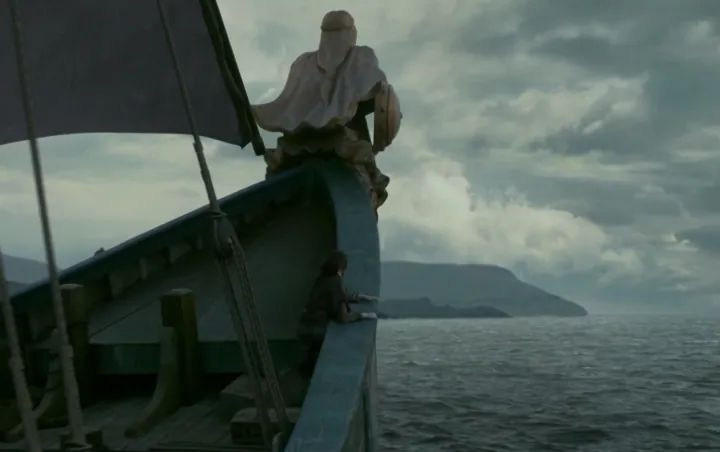
The Narrow Sea, image 1S04E10 - Arya (on the ship).png · gameofthrones.fandom.com · this wiki publishes under CC-BY-SA 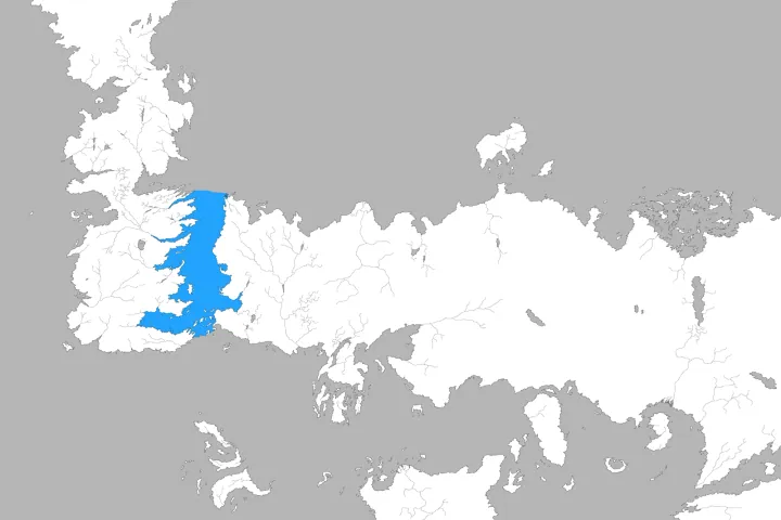
The Narrow Sea, image 2Narrow Sea.png · gameofthrones.fandom.com · this wiki publishes under CC-BY-SA 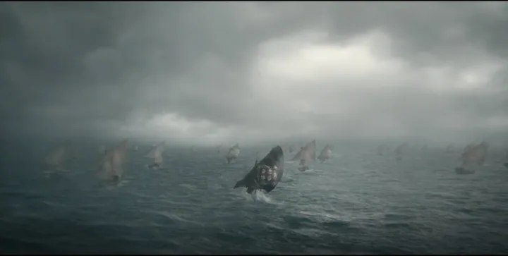
The Narrow Sea, image 3Triarchy Fleet.png · gameofthrones.fandom.com · this wiki publishes under CC-BY-SA
.png)


What we are not sure about
PositionWe worked it out
The position was inferred from the label on the base map rather than from a symbol of its own: it marks the area, not the point.